Ecological Concerns
The Kekova region has been declared a specially protected area by Turkish Environmental authorities. All kinds of diving and swimming around the submerged ruins are prohibited but you may take a dinghy or kayak to see the sunken city. Kekova Roads is a peaceful place of history, gorgeous turquoise water, sun, islands, unspoilt nature, blue skies and wonderful swimming.
 Navigation Issues
There are two approaches to Kekova Roads. One is from the east around Geyikova Burnu at the east end of the island and the other from the west between the island and the mainland.
The eastern entrance presents few problems as long as you give the various islets in the approach a good clearance. However, there are dangerous reefs 200 metres SE of the village of Kale Köy. The reefs are marked with a south cardinal.
For the western approach, yachts may pass either side of a small group of rocky islets in the entrance, Karagol Adalari. The safer passage, is to the west of these islets since there are dangerous, unmarked reefs 200 metres north of the eastern passage. A white-painted light structure on the northern shore bearing 356 degrees gives you safe entrance through the western passage.
The entrance to the inner cove and anchorages of Uçağiz is hard to spot, being surrounded by small rocky islets. The village of Uçağiz is on the north shore and on a bearing of 340 degrees gives you safe passage into the anchorage. Once on the approach, a small inner islet will be seen, which should be left at least 100 metres to starboard as there are extensive shallow reefs all round it.
Warning: Care must be taken when entering Kekova Roads from the western Karaölor Adalari entrance, especially under sail. Because there can be very violent, unexpected gusts, it is wise to motor in to avoid the many rocks near Karaölor. Entering at nights also very risky.
Back to One Week Itineraries …
Back to Two Week Itineraries …
 Sögüt is a beautiful area to visit but it is not easy to find.
 Facilities
 A restaurant with enticing straw huts full of giant cushions sits right on the shore and is a delightful place to relax. As the sun sets, the restaurant staff light huge torches all down the beach and the jetties are lit with underwater lights. It’s a spectacular sight.
 Facilities
 Gemiler Adasi, an island three miles west of Öludeniz, has an attractive anchorage on the north side which can be used in settled weather. Anchor in 15–20 metres and take a line ashore. Often rather aggressive “boat boys” will approach and offer to take your lines (for a tip, of course). The shore is lined with Byzantine ruins, extending some 15-20 metres out under the water. The setting is most picturesque. On the island are the remains of several churches built between the fourth and sixth centuries AD, along with a variety of associated buildings.
 Archaeologists believe it was the location of the original tomb of Saint Nicholas. The Turkish name of Gemiler Adasi, meaning “Island of Boats”, is a possible reference to St. Nicholas’s role as the patron saint of sailors. The island was also referred to as St. Nicholas Island by seafarers in the medieval period.
  In contrast to the rest of The Kekova Roads, the water here is not clear due to a very muddy bottom. It has reasonable holding, although some plough-type anchors will dig a furrow through it unless given plenty of chain. It is not unusual to need three or four attempts before the anchor holds. The best holding appears to be in the western arm of the inlet, to the west of Uçagiz town, where the depths are 6-7 metres. One can also anchor in the eastern arm, although there is a slight chop here from the prevailing SW winds blowing in through the entrance.
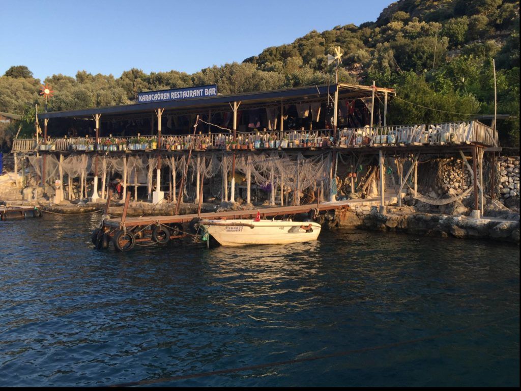 A cove has been developed by a restaurant on the northern shore into a popular yacht stop-over. The restaurant has laid 24 moorings in a crescent around the cove. Moorings are close together so it is necessary to take a line ashore (which the restaurant staff will do on arrival). Obviously, if you use their moorings, you are expected to eat in the restaurant. The set meal is well priced.
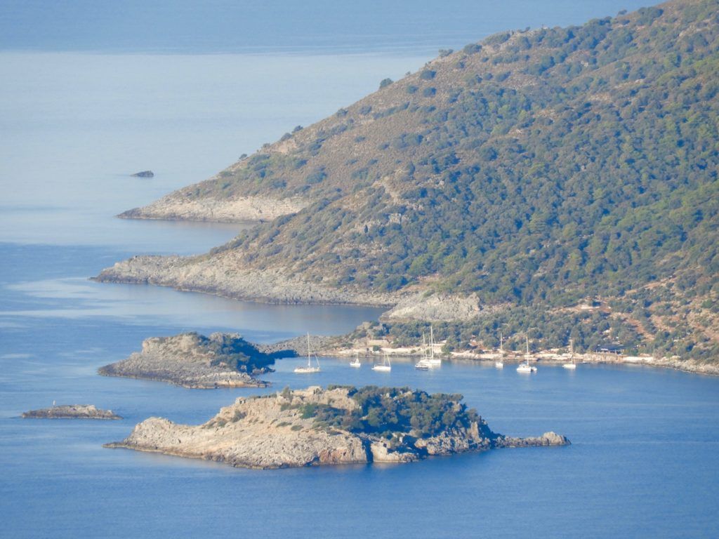 Facilities
 Kalkan (Greek Kalamaki) has mushroomed since the 1980s from a former Greek fishing port into a vibrant tourist resort. The old town, rising up the slope above the small harbour, is now surrounded by a modern hotels and older houses adorned with bougainvillea, jasmine and pastel colors – all providing a unique “Kalkan look.” The harbour is surrounded by bars, restaurants and nightclubs.
 Yachts moor on the SW quay – there is room for about 12-14 yachts. Harbour staff will assist in anchoring and mooring back to the quay. The holding is mediocre and at least 30 metres of chain is required. Tripper gulets and dive boats moor on the quay at the end of the harbour, laying out their anchors at 90 degrees to the chains of yachts moored. Be aware of this if planning to leave early. Also, note there is a ground chain running down the middle of the harbour – either lay your anchor short or well beyond the mid point and hope it digs in before the chain. Divers are readily availiable from the anchored gulets if you catch the chain.
 Kaş was the Greek Antiphellus and was populated by Greeks until the 1921 population exchange. Today, Kaş is one of the most appealing towns along the coast with numerous restaurants, good facilities and reputed great nightlife. As such, be prepared for a little noise at night if moored in the harbour. Behind the village are some Lycian rock tombs, many of which are beautifully lit at night.
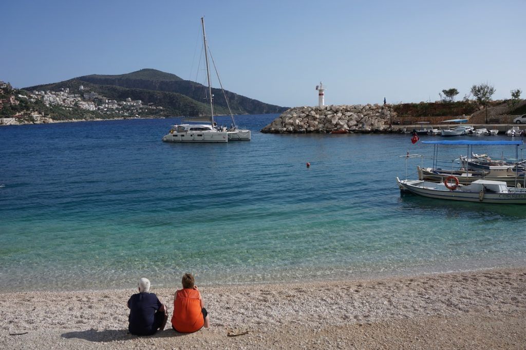 Alternatively, newly built Kaş Marina in the inlet across the peninsula, offers 470 berths. While apart from the liveliness of Kaş, there is convenient taxi service for the very short ride to the town centre.
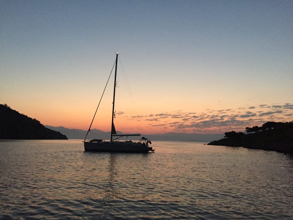 Çiftlik is protected from the Meltimi by Çiftlik Island, which lies opposite the cove. There are good facilities for a sailing stopover. It has a selection of bars and restaurants. Mooring is available by the new marina which offers free fresh water, electricity, and wireless internet.